Updated : 2021-10-30 (Draft)
The RaDAR Challenges / RaDAR Sport Sprint
1. Aim
1.1 The RaDAR “Challenge” is a unique event aimed at promoting the use of Rapidly Deployable Amateur Radio stations. Options (Fixed, Field or Moving) may be changed at any time during the challenges. The points system is so structured as to encourage portable RaDAR operations especially moveable RaDAR stations.
1.2 RaDAR operators are encouraged to be self-sufficient during each challenge, with not only power supply and communications equipment but food, water, protective clothing and shelter.
1.3 The introduction of various categories starting from November 2021 (Test phase).
Category A – A FULL twenty four hour RaDAR Challenge.
Category B – The standard RaDAR challenge. It’s up to each individual to plan his / her MAXIMUM, SINGLE PERIOD, FOUR HOUR ops.
Category C – A 2 hour RaDAR Sport sprint, starting time 14:00 LOCAL TIME. This is a physically demanding challenge.
Category D – A RaDAR Chaser station. Without these stations RaDAR operators will find difficulty in maintaining quick QSO’s per deployment.
Please ensure that you mark your category correctly when entering or editing your logs in the online logbook.
Once a challenge is completed by a RaDAR Challenge participant, there is no harm in becoming a Category D Chaser station. Monitoring the online logbook in real time will provide clues to where to find the activity worldwide.
All logs are to be recorded using the unique online logbook. A PIN is required for access and must be arranged a week ahead of the challenges. Ideally every RaDAR operator should be possesion of his own PIN to be able to log online. Contact Eddie, ZS6BNE via email on edleighton@gmail.com. The online logbook can be found at :
http://www.radarops.co.za/radarsport/RaDAR_Sport.html
As in the past one point was allocated for each of the five QSO’s per deployment. Now if the log is matched on the system with another then both stations get credit for the QSO otherwise the logged QSO only has a one point value. As this concept will grow so will the accurate logging from all stations become a reality. This has been proven during the development and testing of the online community logbook.
2. Dates and Times
2.1 RaDAR operators define their own categories.. He / she should consider propagation with the ultimate goal of inter-continental RaDAR to RaDAR communications in mind.
2.2 00:00 UTC to 23:59 UTC on Saturday 3 April 2021
2.3 00:00 UTC to 23:59 UTC on Saturday 10 July 2021
2.4 00:00 UTC to 23:59 UTC on Saturday 6 November 2021.
3. Bands and Modes
3.1 All amateur bands are allowed including cross band contacts via amateur radio satellites. Modes – CW, SSB, FM or any legal amateur radio digital mode (Except modes like FT8, preferably keyboard to keyboard modes like PSK31 where the operator is directly responsible for the information exchange).
The WARC bands are INCLUDED – The RaDAR Challenge is not considered to be a contest but an individual challenge with a low QSO count and a simulation of emergency situations. 17m is a popular band to use.
3.2 QSOs via terrestrial FM repeaters should preferably NOT be used for the purpose of the challenge.
4. Suggested (Non WARC) HF calling frequencies
See https://zs6bne.wordpress.com/2013/03/06/radar-calling-frequencies/ for the general RaDAR Calling channels, the latest suggested international list of calling frequencies
5. Exchange
5.1 The RaDAR challenge requires more than a minimalistic information exchange. Accurate information exchange is considered more important than a large QSO count. Callsign, Name, RS (T) report and Grid locator. The grid locator of six characters is acceptable but should preferably be accurate to 8 or 10 characters for higher position accuracy (especially for moving RaDAR stations). If the other station is unable or unwilling to give a grid location then the name of his town will suffice.
6. Scoring
One point per QSO. Individual QSOs could be per band, per satellite, per grid location. If the other station also logs the contact accurately on the online logbook, it is then considered to be a RaDAR to RaDAR contact and the bonus points then come into play.
The online logbook has a facility for evaluating the accuracy of logs. For RaDAR even the grid exchanges need to be exact. If the times are within five minutes, date, frequency and grids match then two bonus points are awarded to both stations. This is done by the RaDAR Challenge online Evaluator.
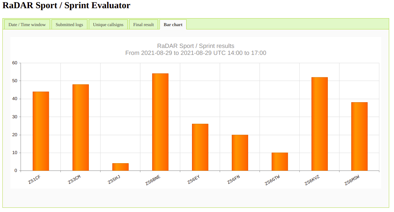
It can be found at http://www.radarops.co.za/radarsport/evaluate_Sprint.html
If the moving RaDAR station has moved the required distance contact can be made with a previously worked station again. Suggestions have been made to call CQ including grid location, for example CQ RaDAR from grid KG34ACXXYY, to help chasers determine whether it is possible for a new contact with a previously worked moving RaDAR station.
The number of transitions that took place will be considered a multiplier for the total scores achieved through the five contacts per deployment point.
7. RaDAR transisiton options and multipliers
7.1 The following multipliers are applicable to determine the final score. If the mode of transport changes were made during the challenge, then calculations take place accordingly. Ensure your mode of transport is correctly selected when entering your log into the online logbook.
x 1 – RaDAR Fixed station (in a building away from home)
x 2 – RaDAR Field station (camping)
x 3 – Moving RaDAR station – see modes of transport below.
7.2 Modes of transport and required movement distances (moving RaDAR stations only)
Vehicles, motorcycles and motorboats (motorized transport) – 6 km.
Note: Motorized transport is only allowed for the twenty four and four hour challenges and not for the two hour RaDAR Sport sprint. The RaDAR Sport sprint is more of a physical challenge.
Bicycles – 2 km.
On foot and paddle canoes – 1 km.
Wheelchairs – 500 m (The four hour challenge only).
7.3 Aeronautical mobile stations are considered moving stations and can communicate at any convenient time.
7.4 Moving RaDAR stations need to make five QSOs before moving to the next deployment point thereafter they are required to move to their next destination. The move needs to cover the required distance before further contacts can be made. This requirement tests the ability to rapidly and successfully re-deploy your amateur radio station. If it be gentlemanly to make further QSOs before moving, then please feel free to do so but the QSOs in excess of five per deployment point cannot be counted for points. For simplicity, log only the five required contacts per deployment point. It will make it easier to follow the activity of moving stations in real time.
8. Log Sheets
8.1 Log sheets must be entered online or uploaded to the online log using ADIF. Logs should preferably entered directly after each QSO (See Note). End of QSO times are also the most accurate to log. If ADIF uploads are done after using a logging program it will be necessary to do final edits of the uploaded logs as ADIF does not cater for all RaDAR related fields. It is no longer necessary to submit a log as it already exists in a database behind the online logbook. This is what makes the online logbook quite unique.
Note: Ideally the logs should be entered as quickly as possible that activity can be monitored in real time but it is understandable if this is not possible. Some deployments may be out of range for Internet access. In this case enter or upload your logs at your earliest convenience preferably not later than one week after the challenge. An online evaluation can be done at any time.

Reblogged this on Site Title.
1) Is the thinking that this is tied to POTA, or distinct from POTA activities?
2) One might consider rules based on the power of the moving activator? e.g. 5 contacts for QRP, but 10 contacts for >QRP.
3) I would appreciate flexibility with a log sheet deadline. I don’t take a computer into the field, and need a day or two to enter and update logs. I think others may feel the same way.
Rob (KM4MK)
Hi Rob, please see the updated note on log submissions. As far as power differences are concerned the RaDAR operator is free to choose whatever he needs to have communications success. More power, more weight 🙂
I saw your presentation tonight for the Atlanta Radio Club. I really like the challenge — the POTA RADAR awards got me hooked on the challenge of redeployment.
One of the things POTA offers is that location is validated by what park you are activating. Those are the only locations allowed. RaDAR allows any location. Chasers may not know if the activator moved from when they last heard the activator 30 minutes ago.
Suggestion: Consider a movement criteria that, instead of distance, is based on requiring distance to changing grid squares? A 6 digit maidenhead grid square is 7km x 9km (in the United States. Yes size varies by where on the globe, I suspect it is a bit different in South Africa!) An 8 digit grid square is 700m x 900m. So for example, you could require that a vehicle must move to another 6 digit grid square, a bicycle must move 2 8 digit grid squares, a paddler one 8 digit grid square.
This does put a burden on the activators to know their location w sufficient accuracy.
A simpler version would be to keep your distance criteria as defined, but ask that the activator report a sufficiently unique maidenhead grid square from their last activated location.